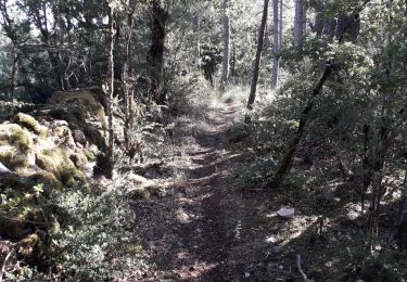
9.1 km | 14.4 km-effort
Etoile de Coustaraços ( La Tieule par Meynard et Pertuzades)
Lozère Cheval
User
Length
29 km
Max alt
1015 m
Uphill gradient
969 m
Km-Effort
42 km
Min alt
769 m
Downhill gradient
963 m
Boucle
Yes
Creation date :
2021-01-15 15:18:14.45
Updated on :
2021-01-15 15:19:39.117
5h33
Difficulty : Very difficult
FREE GPS app for hiking
About
Trail Horseback riding of 29 km to be discovered at Occitania, Lozère, La Tieule. This trail is proposed by Lozère Cheval.
Description
Etoile de Coustaraços ( La Tieule par Meynard et Pertuzades)
Positioning
Country:
France
Region :
Occitania
Department/Province :
Lozère
Municipality :
La Tieule
Location:
Unknown
Start:(Dec)
Start:(UTM)
512397 ; 4914647 (31T) N.
Comments
Trails nearby
Vers l'antenne de La Canourgue
Walking
Easy
Saint-Saturnin,
Occitania,
Lozère,
France
6.9 km | 8.8 km-effort
1h 42min
Yes
Ta dimanche
sport
Very easy
La Canourgue,
Occitania,
Lozère,
France
108 km | 142 km-effort
Unknown
No
La Tieule - Etoile par Le Maynard
Horseback riding
Difficult
La Tieule,
Occitania,
Lozère,
France
27 km | 37 km-effort
4h 53min
Yes
Etoile La Tieule par Rouge Parets
Horseback riding
Difficult
La Tieule,
Occitania,
Lozère,
France
26 km | 36 km-effort
4h 45min
Yes
Chemin de St Guilhem - La Tieule - Saint Georges de Lévéjac
Walking
Very difficult
La Tieule,
Occitania,
Lozère,
France
21 km | 28 km-effort
5h 56min
No
Grande Boucle Tieule/Canourgue/Champerboux/StEnimie/MasRouch/Tieule
Horseback riding
Very difficult
La Tieule,
Occitania,
Lozère,
France
91 km | 123 km-effort
15h 4min
Yes
Boucle La Canourgue/ La Tieule / Mas Rouch
Horseback riding
Very easy
La Tieule,
Occitania,
Lozère,
France
66 km | 91 km-effort
Unknown
Yes
Campagnac
Walking
Very easy
Campagnac,
Occitania,
Aveyron,
France
14 km | 17.9 km-effort
5h 52min
Yes